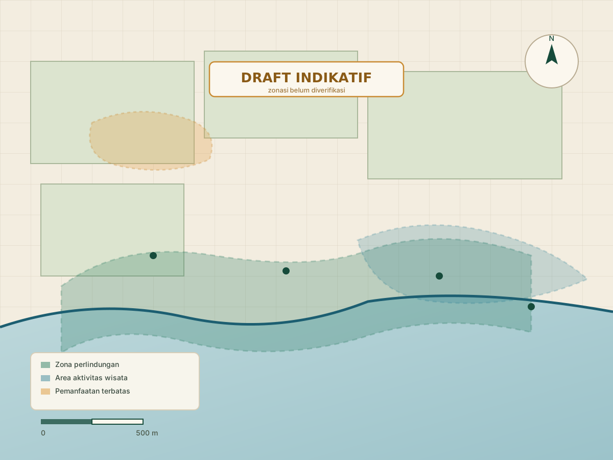
 Draft Indikatif
Sugian Mangrove Conservation & Spatial Function Plan
The Sugian reference map with an indicative spatial function framework, facility areas and conservation rules.
Map files, drawings and supporting visual material
The village maps themselves, plus the drawings and documents that support them.
Draft Indikatif
The Sugian reference map with an indicative spatial function framework, facility areas and conservation rules.
Draft Indikatif
The Denda Seruni reference map with three gates, parking areas, an indicative zone framework and conservation rules.